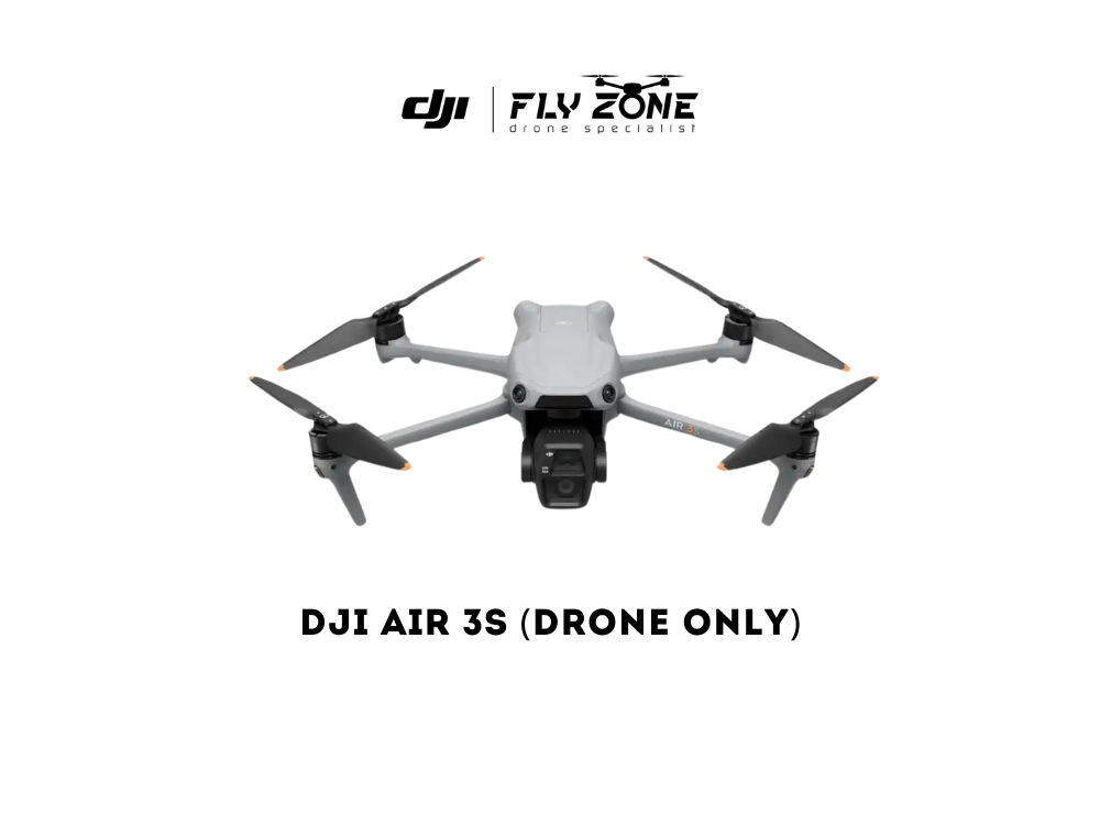
Aerial Mapping & Surveying Service
PRE-ORDER
WhatsApp / Call for quotation
A drone survey refers to the use of a drone, or unmanned aerial vehicle (UAV), to capture aerial data with downward-facing sensors, such as RGB or multispectral cameras, and LIDAR payloads.
Contact us today to learn more or to book a service!